Survey: Fish Transect
Fish transect surveys follow the same creation path as other surveys, with fish-specific method and observation rules.
Setup
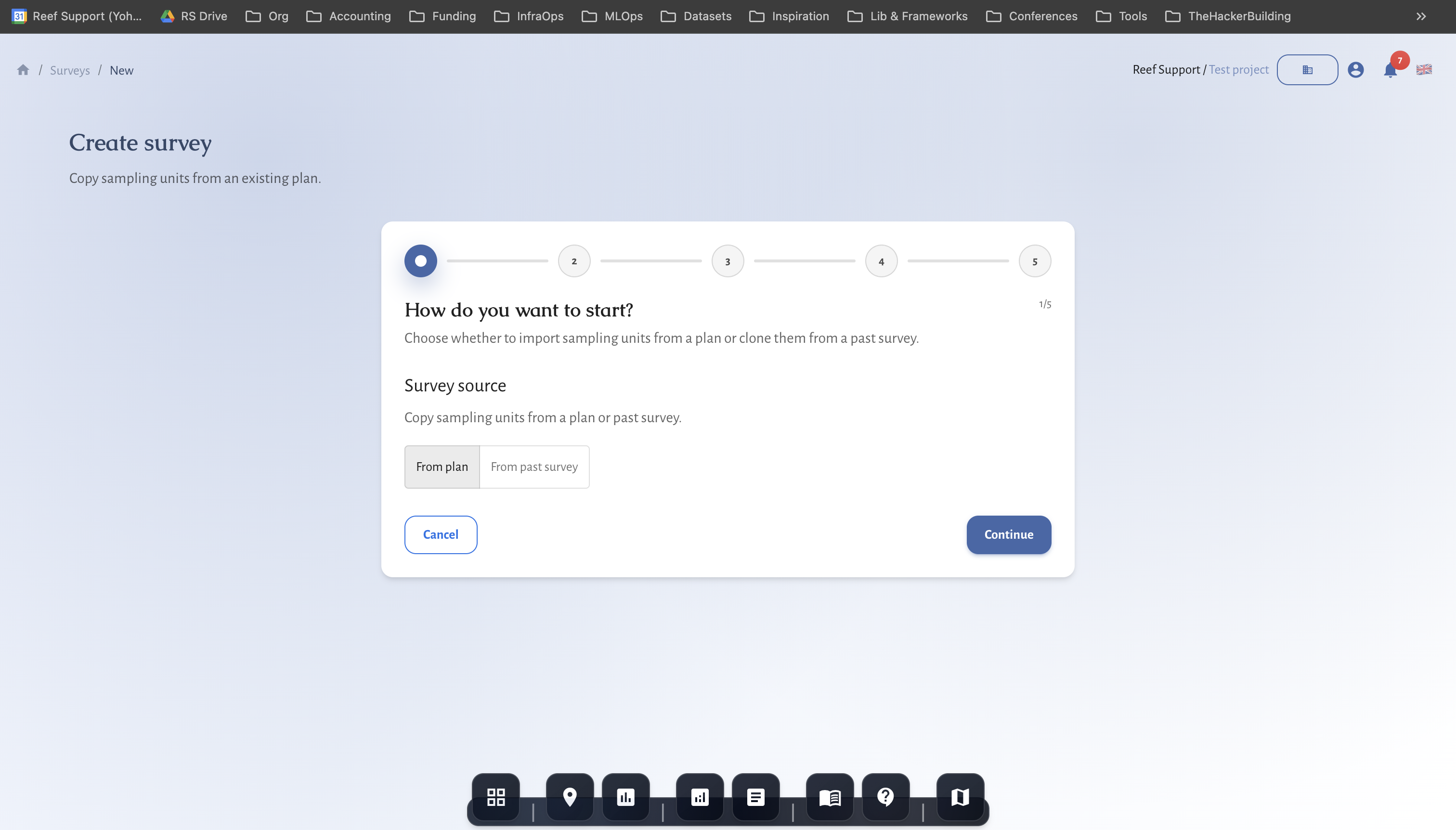
- Create survey from a fish transect plan.
- Confirm site, date, and method details.
Entry and validation
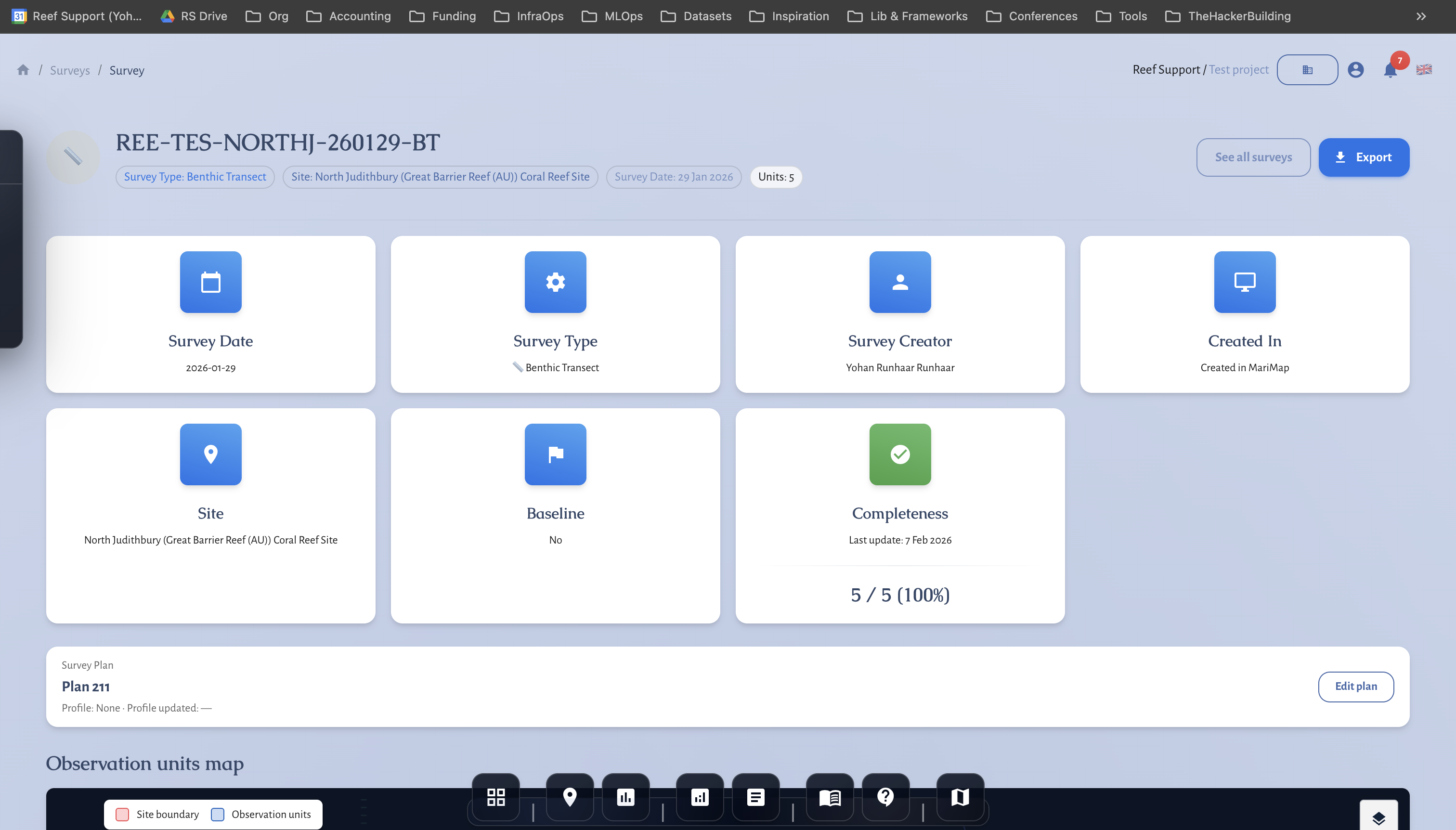
- Record all observations in the survey workspace.
- Review summary output before final sign-off.